File:J03 045825 2081sappingcraterarrowslabeled.jpg
Size of this preview: 369 × 599 pixels. Other resolutions: 148 × 240 pixels | 464 × 753 pixels.
Original file (464 × 753 pixels, file size: 118 KB, MIME type: image/jpeg)
Summary
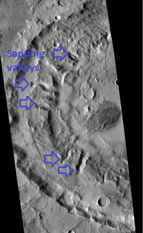
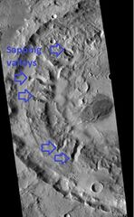
CTX image of sapping valleys that formed from ground water. This is evidence for an extensive ground water system on Mars. In some craters like these water came out of the ground and formed a lake in craters. Blue arrows indicate valleys that were formed by sapping. Location is 28.17 N and 11.13 E.
Image Credit: NASA/MSSS
Licensing
Public domain images are available for anybody to use without any licenses, royalties, or special permissions.
File history
Click on a date/time to view the file as it appeared at that time.
| Date/Time | Thumbnail | Dimensions | User | Comment | |
|---|---|---|---|---|---|
| current | 11:42, 5 September 2021 | | 464 × 753 (118 KB) | Suitupandshowup (talk | contribs) | CTX image of sapping valleys that formed from ground water. Image Credit: NASA/MSSS |
You cannot overwrite this file.
File usage
The following 2 pages use this file:


