File:Amenthes Fossae Region.JPG
No higher resolution available.
Amenthes_Fossae_Region.JPG (443 × 477 pixels, file size: 31 KB, MIME type: image/jpeg)
Summary
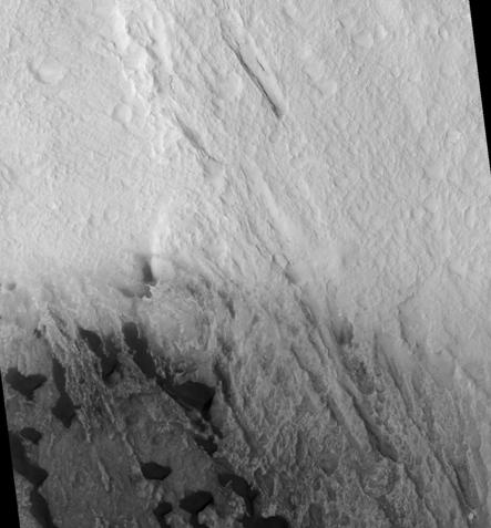
| Description | Amenthes Fossae Region, as seen by hirise. location is 8.5 degrees north latitude and 102.6 degrees east longitude. Image was taken by the Mars Reconnaissance Orbiter's HiRISE. The HiRISE camera was built by Ball Aerospace and Technology Corporation and is operated by the University of Arizona. Image courtesy NASA/JPL/University of Arizona. |
| Date | |
| Source | http://hirise.lpl.arizona.edu/PSP_006843_1885 |
| Author | Jim Secosky modified NASA image. |
Licensing
| This file is in the public domain in the United States because it was solely created by NASA. NASA copyright policy states that "NASA material is not protected by copyright unless noted". (See Template:PD-USGov, NASA copyright policy page or JPL Image Use Policy.) | ||
 |
Warnings:
|
File history
Click on a date/time to view the file as it appeared at that time.
| Date/Time | Thumbnail | Dimensions | User | Comment | |
|---|---|---|---|---|---|
| current | 21:39, 20 March 2010 | | 443 × 477 (31 KB) | Ohms Law Bot | {{BotMoveToCommons|1=en.wikipedia|day=21|month=March|year=2010}} == Summary == {{Information |Description = Amenthes Fossae Region, as seen by hirise. location is 8.5 degrees north latitude and 102.6 degrees east longitude. Image was taken by the M |
File usage
There are no pages that use this file.


