Difference between revisions of "File:Terrainneargale.jpg"
m (→Summary) |
m (→Summary) |
||
| Line 2: | Line 2: | ||
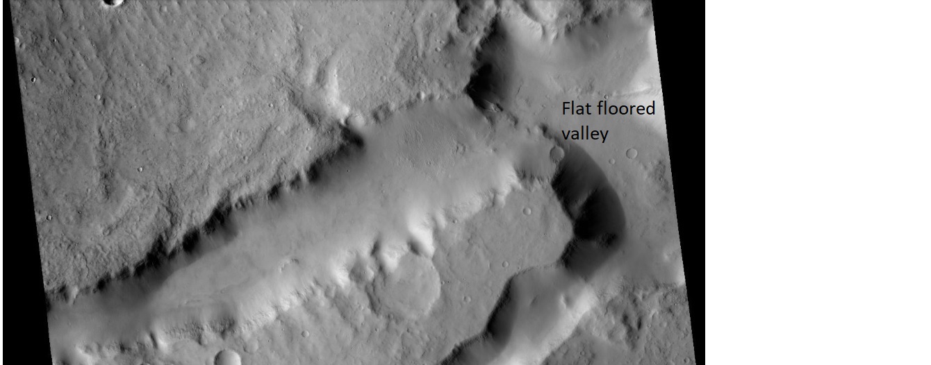
Fretted terrain near Gale Crater Note the flat floored valley | Fretted terrain near Gale Crater Note the flat floored valley | ||
| − | Center Lat | + | Center Lat 4.56° S |
| − | Center Lon 142.98° | + | Center Lon 142.98° E |
Latest revision as of 12:00, 27 January 2019
Summary
Fretted terrain near Gale Crater Note the flat floored valley
Center Lat 4.56° S Center Lon 142.98° E
NASA/MSSS
Licensing
Public domain images are available for anybody to use without any licenses, royalties, or special permissions.
File history
Click on a date/time to view the file as it appeared at that time.
| Date/Time | Thumbnail | Dimensions | User | Comment | |
|---|---|---|---|---|---|
| current | 11:58, 27 January 2019 | 1,340 × 526 (138 KB) | Suitupandshowup (talk | contribs) | Fretted terrain near Gale Crater Note the flat floored valley Source: http://viewer.mars.asu.edu/planetview/inst/ctx/G06_020568_1755_XI_04S217W#P=G06_020568_1755_XI_04S217W&T=2 NASA/MSSS |
You cannot overwrite this file.
File usage
The following page uses this file:


