File:Mars-curiosity-rover-msl-rock-layers-PIA21042-full2.jpg
Revision as of 11:10, 3 April 2018 by Suitupandshowup (talk | contribs) (Rock layers, as seen by Curiosity Rover View from Mastcam on Curiosity showing sloping buttes and layered outcrops on lower Mount Sharp Source: https://mars.nasa.gov/resources/farewell-to-murray-buttes-image-2/ Image credit: NASA/JPL-Caltech/MSSS)
Size of this preview: 672 × 600 pixels. Other resolution: 269 × 240 pixels.
Original file (1,344 × 1,200 pixels, file size: 135 KB, MIME type: image/jpeg)
Summary
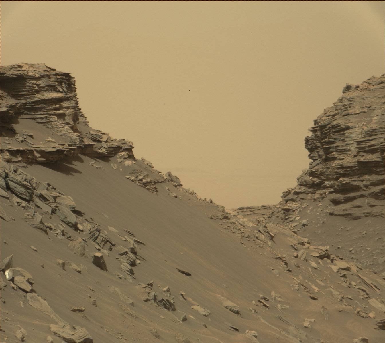
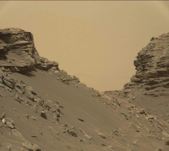
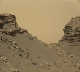
Rock layers, as seen by Curiosity Rover View from Mastcam on Curiosity showing sloping buttes and layered outcrops on lower Mount Sharp
Source: https://mars.nasa.gov/resources/farewell-to-murray-buttes-image-2/
Image credit: NASA/JPL-Caltech/MSSS
Licensing
Public domain images are available for anybody to use without any licenses, royalties, or special permissions.
File history
Click on a date/time to view the file as it appeared at that time.
| Date/Time | Thumbnail | Dimensions | User | Comment | |
|---|---|---|---|---|---|
| current | 11:10, 3 April 2018 | | 1,344 × 1,200 (135 KB) | Suitupandshowup (talk | contribs) | Rock layers, as seen by Curiosity Rover View from Mastcam on Curiosity showing sloping buttes and layered outcrops on lower Mount Sharp Source: https://mars.nasa.gov/resources/farewell-to-murray-buttes-image-2/ Image credit: NASA/JPL-Caltech/MSSS |
You cannot overwrite this file.
File usage
The following file is a duplicate of this file (more details):
- File:Mars-curiosity-rover-msl-rock-layers-PIA21042-full2.jpg from Wikimedia Commons
The following 4 pages use this file:


