File:Mars-curiosity-rover-msl-rock-layers-PIA21042-full2.jpg
Size of this preview: 672 × 600 pixels. Other resolution: 269 × 240 pixels.
Original file (1,344 × 1,200 pixels, file size: 135 KB, MIME type: image/jpeg)
Summary
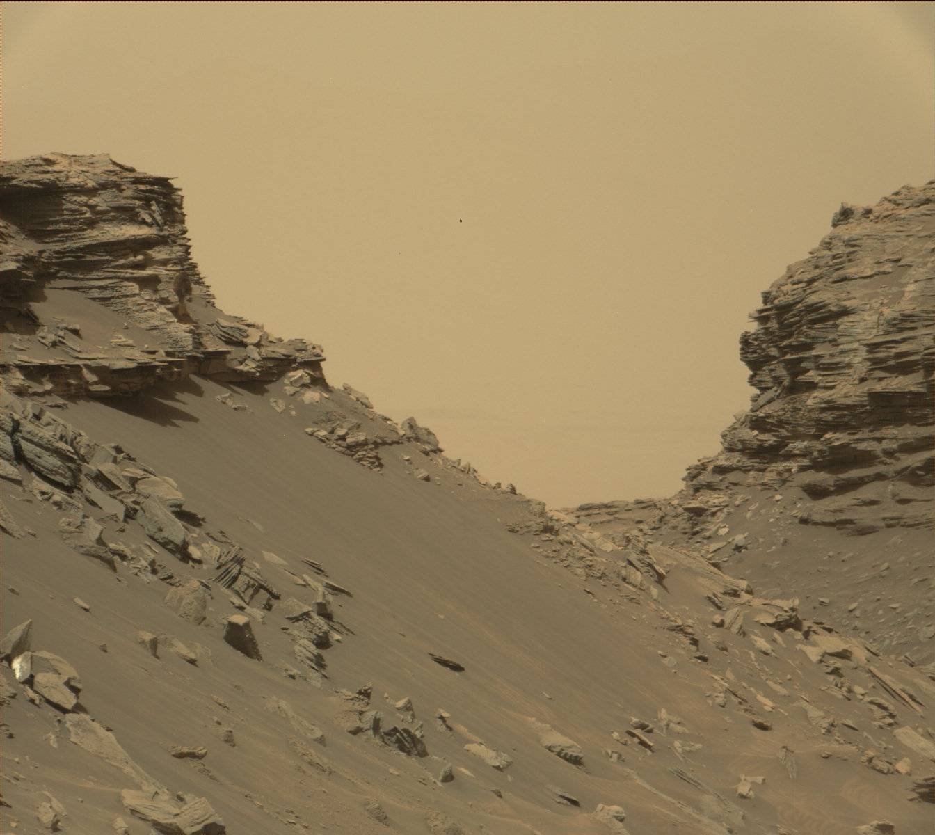
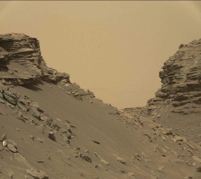
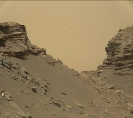
Rock layers, as seen by Curiosity Rover View from Mastcam on Curiosity showing sloping buttes and layered outcrops on lower Mount Sharp Location is within the "Murray Buttes" region on lower Mount Sharp.
Source: https://mars.nasa.gov/resources/farewell-to-murray-buttes-image-2/
Image credit: NASA/JPL-Caltech/MSSS
Licensing
Public domain images are available for anybody to use without any licenses, royalties, or special permissions.
File history
Click on a date/time to view the file as it appeared at that time.
| Date/Time | Thumbnail | Dimensions | User | Comment | |
|---|---|---|---|---|---|
| current | 11:10, 3 April 2018 | | 1,344 × 1,200 (135 KB) | Suitupandshowup (talk | contribs) | Rock layers, as seen by Curiosity Rover View from Mastcam on Curiosity showing sloping buttes and layered outcrops on lower Mount Sharp Source: https://mars.nasa.gov/resources/farewell-to-murray-buttes-image-2/ Image credit: NASA/JPL-Caltech/MSSS |
You cannot overwrite this file.
File usage
The following file is a duplicate of this file (more details):
- File:Mars-curiosity-rover-msl-rock-layers-PIA21042-full2.jpg from Wikimedia Commons
The following 4 pages use this file:


