File:PIA00176-MC-16-MemnoniaRegion-19980605.jpg

Size of this preview: 800 × 557 pixels. Other resolutions: 320 × 223 pixels | 640 × 446 pixels | 1,024 × 713 pixels | 1,280 × 891 pixels | 7,170 × 4,991 pixels.
Original file (7,170 × 4,991 pixels, file size: 4.45 MB, MIME type: image/jpeg)
Summary
| Description |
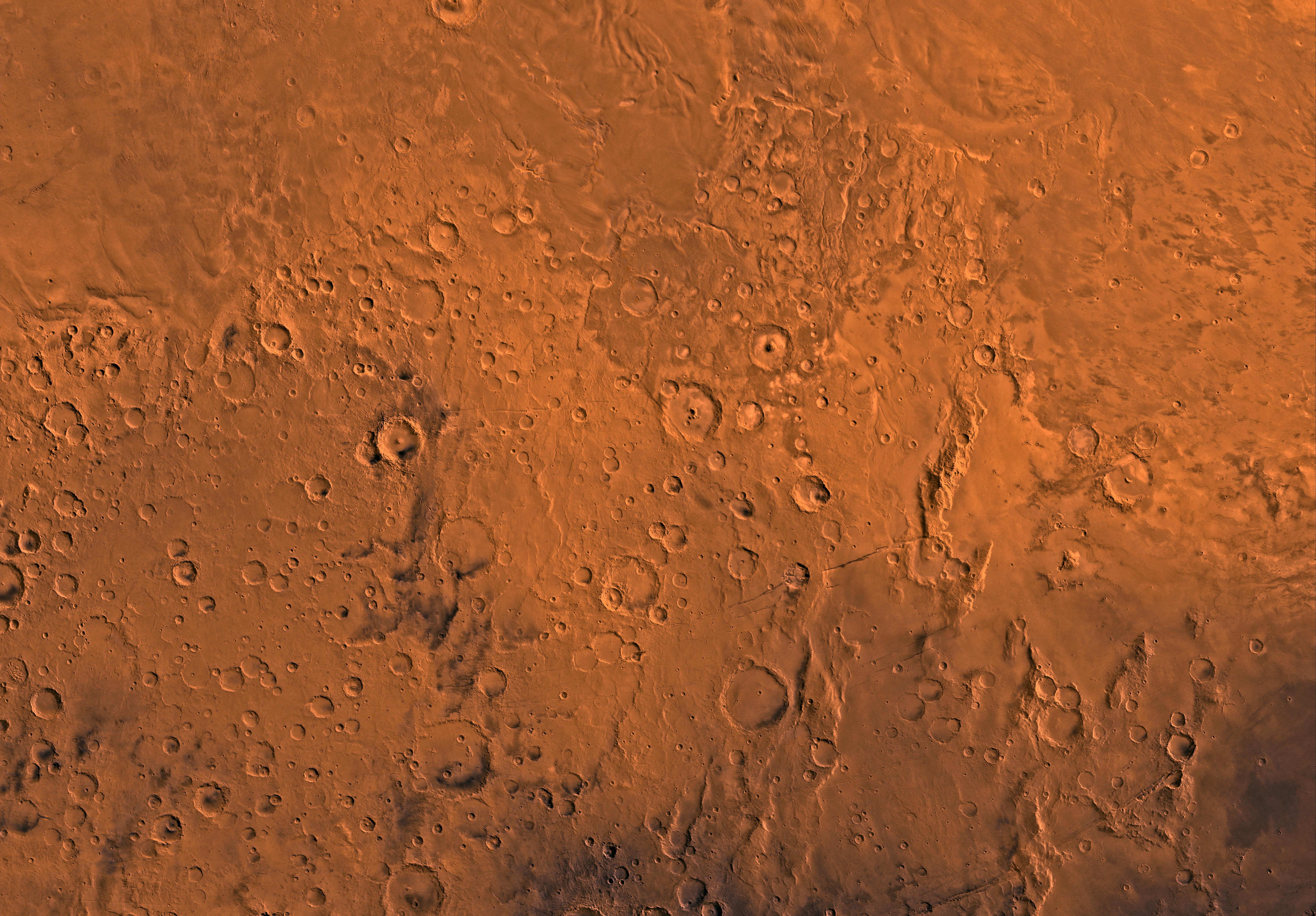
English: PIA00176: MC-16 Memnonia Region
Mars digital-image mosaic merged with color of the MC-16 quadrangle, Memnonia region of Mars. Heavily cratered highlands in the southern two-thirds are cut in the northeastern part by a large outflow channel, Mangala Vallis. The highlands are bounded to the north by undulating wind-eroded deposits and to the east by lava flows of the Tharsis region. Latitude range -30 to 0 degrees, longitude range 135 to 180 degrees. |
| Date | |
| Source | http://photojournal.jpl.nasa.gov/jpeg/PIA00176.jpg |
| Author | NASA/JPL/USGS |
Licensing
| This file is in the public domain in the United States because it was solely created by NASA. NASA copyright policy states that "NASA material is not protected by copyright unless noted". (See Template:PD-USGov, NASA copyright policy page or JPL Image Use Policy.) | ||
 |
Warnings:
|
File history
Click on a date/time to view the file as it appeared at that time.
| Date/Time | Thumbnail | Dimensions | User | Comment | |
|---|---|---|---|---|---|
| current | 04:47, 17 May 2013 | | 7,170 × 4,991 (4.45 MB) | Drbogdan | User created page with UploadWizard |
File usage
The following page uses this file:


