
File:Icemaplargelabeled454arrows.jpg


Size of this preview: 800 × 357 pixels. Other resolution: 1,614 × 720 pixels.
Original file (1,614 × 720 pixels, file size: 552 KB, MIME type: image/jpeg)
Summary
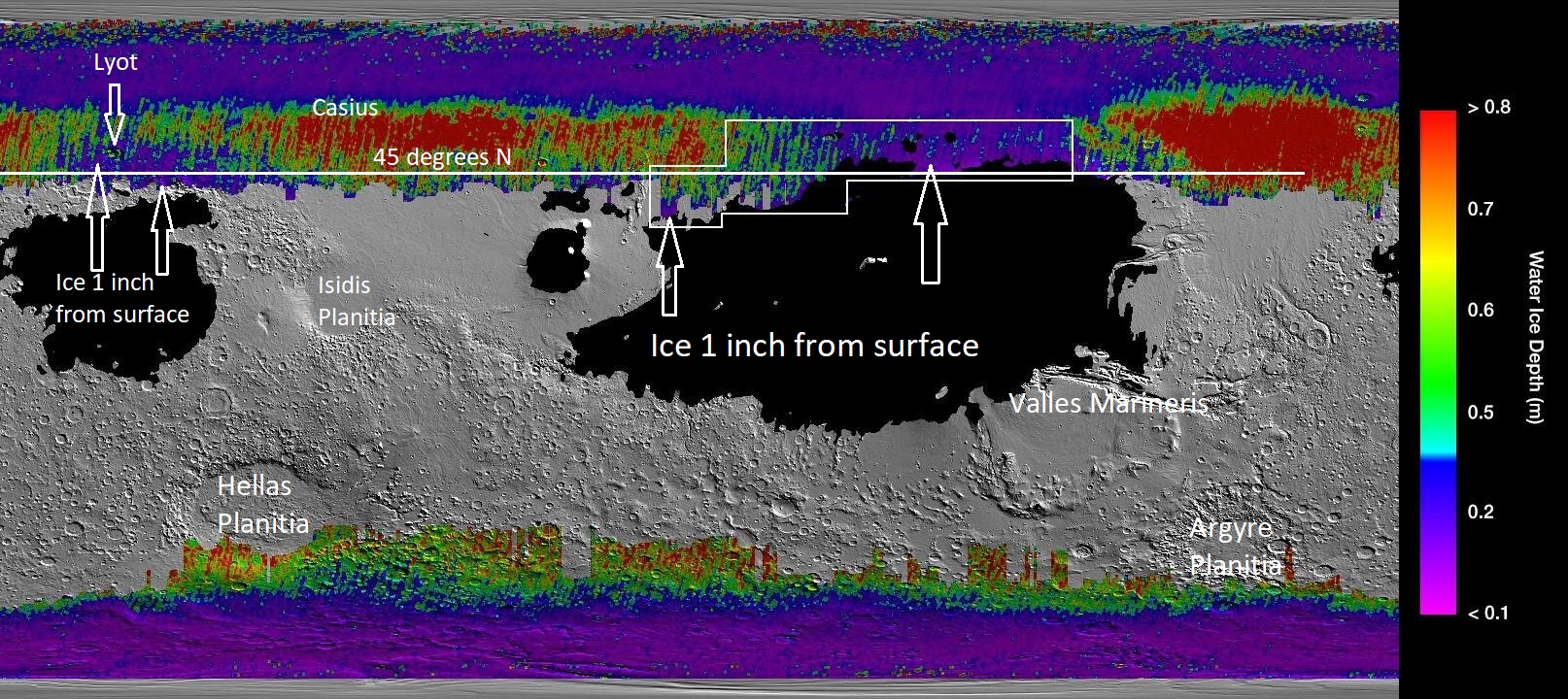
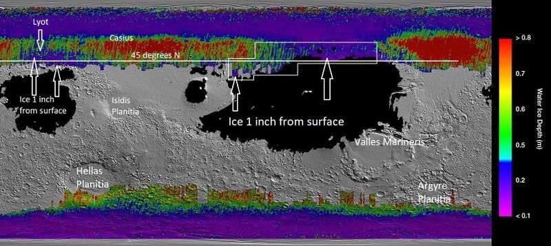
Map that shows location of near surface ice based on data from Mars Climate sounder onboard the Mars Reconnaissance Orbiter and the Thermal Emission Imaging System (onboard the Mars Odyssey Orbiter).
Image Credit: NASA/JPL/-Caltech/ASU/Secosky
Licensing
Public domain images are available for anybody to use without any licenses, royalties, or special permissions.
File history
Click on a date/time to view the file as it appeared at that time.
| Date/Time | Thumbnail | Dimensions | User | Comment | |
|---|---|---|---|---|---|
| current | 21:01, 19 December 2019 | | 1,614 × 720 (552 KB) | Suitupandshowup (talk | contribs) | Map that shows location of near surface ice based on data from Mars Climate sounder onboard the Mars Reconnaissance Orbiter and the Thermal Emission Imaging System (onboard the Mars Odyssey Orbiter). Image Credit: NASA/JPL/-Caltech/ASU/Secosky |
You cannot overwrite this file.
File usage
The following file is a duplicate of this file (more details):

- File:Icemaplargelabeled454arrows.jpg from Wikimedia Commons

The following page uses this file:
