Difference between revisions of "File:62002 1470ribbed.jpg"
(Ribbed Terrain The location is the Hellas quadrangle at Latitude (centered) 32.477° S and Longitude 101.110° E (ESP_062002_1470). Source: http://hirise.lpl.arizona.edu/ESP_62002_1470ribbed.jpg Image credit: NASA/JPL/University of Arizona) |
(No difference)
|
Latest revision as of 16:59, 6 December 2019
Summary
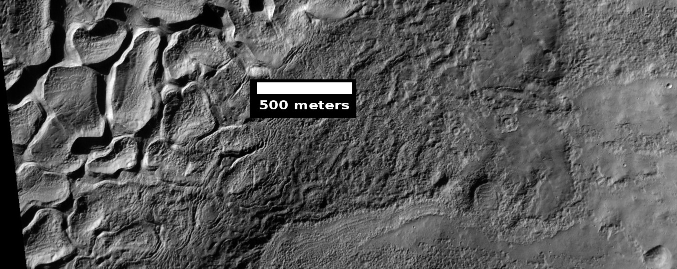
Ribbed Terrain
The location is the Hellas quadrangle at Latitude (centered) 32.477° S and Longitude 101.110° E (ESP_062002_1470).
Source: http://hirise.lpl.arizona.edu/ESP_62002_1470ribbed.jpg
Image credit: NASA/JPL/University of Arizona
Licensing
Public domain images are available for anybody to use without any licenses, royalties, or special permissions.
File history
Click on a date/time to view the file as it appeared at that time.
| Date/Time | Thumbnail | Dimensions | User | Comment | |
|---|---|---|---|---|---|
| current | 16:59, 6 December 2019 | 1,353 × 539 (353 KB) | Suitupandshowup (talk | contribs) | Ribbed Terrain The location is the Hellas quadrangle at Latitude (centered) 32.477° S and Longitude 101.110° E (ESP_062002_1470). Source: http://hirise.lpl.arizona.edu/ESP_62002_1470ribbed.jpg Image credit: NASA/JPL/University of Arizona |
You cannot overwrite this file.
File usage
The following page uses this file:


