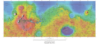
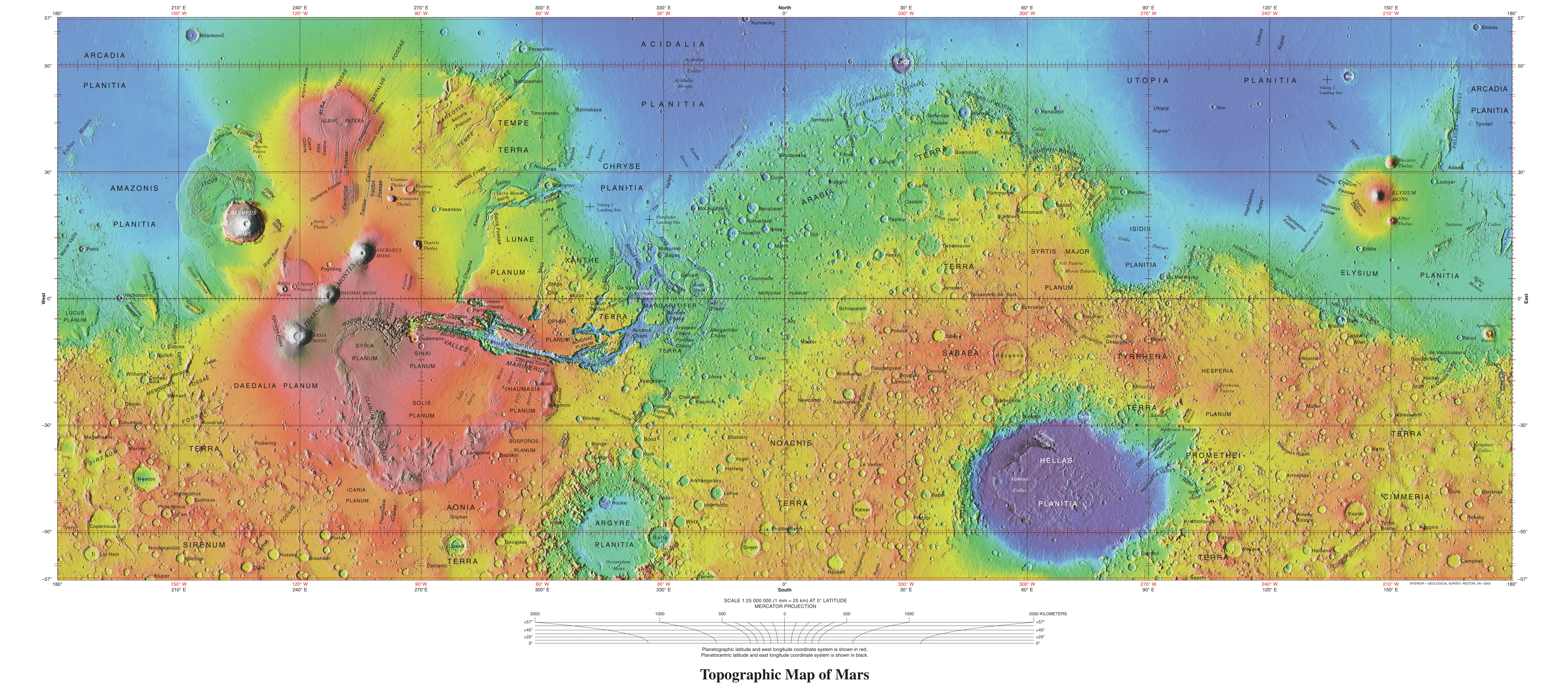
File:USGS-PlanetMars-TopographicalMap.png

Size of this preview: 800 × 354 pixels. Other resolutions: 320 × 142 pixels | 3,007 × 1,330 pixels.
Original file (3,007 × 1,330 pixels, file size: 7.21 MB, MIME type: image/png)
Licensing
Public domain images are available for anybody to use without any licenses, royalties, or special permissions.
File history
Click on a date/time to view the file as it appeared at that time.
| Date/Time | Thumbnail | Dimensions | User | Comment | |
|---|---|---|---|---|---|
| current | 13:33, 7 January 2020 | | 3,007 × 1,330 (7.21 MB) | Michel Lamontagne (talk | contribs) | |
| 13:18, 7 January 2020 | Error creating thumbnail: File with dimensions greater than 12.5 MP | 7,245 × 3,204 (11.38 MB) | Michel Lamontagne (talk | contribs) |
You cannot overwrite this file.
File usage
The following 4 pages use this file:


