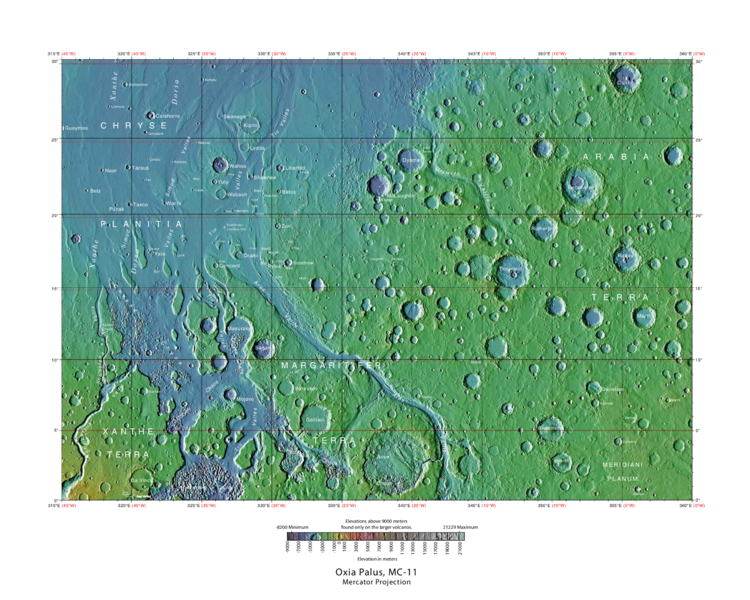
File:USGS-Mars-MC-11-OxiaPalusRegion-mola.png
No higher resolution available.
USGS-Mars-MC-11-OxiaPalusRegion-mola.png (750 × 600 pixels, file size: 649 KB, MIME type: image/png)
Summary
Labeled typo map of outflow channels in the Oxia Palus region
Source: http://planetarynames.wr.usgs.gov/images/mc11_mola.pdf
Image credit: USGS (United States Geological Survey)
Licensing
Public domain images are available for anybody to use without any licenses, royalties, or special permissions.
File history
Click on a date/time to view the file as it appeared at that time.
| Date/Time | Thumbnail | Dimensions | User | Comment | |
|---|---|---|---|---|---|
| current | 08:53, 27 September 2018 | | 750 × 600 (649 KB) | Suitupandshowup (talk | contribs) | Labeled typo map of outflow channels in the Oxia Palus region Source: http://planetarynames.wr.usgs.gov/images/mc11_mola.pdf Image credit: USGS (United States Geological Survey) |
You cannot overwrite this file.
File usage
The following 4 pages use this file:


