
File:ESP 057191 2150landslidecropped.jpg
Size of this preview: 489 × 600 pixels. Other resolution: 1,441 × 1,768 pixels.
Original file (1,441 × 1,768 pixels, file size: 847 KB, MIME type: image/jpeg)
Summary
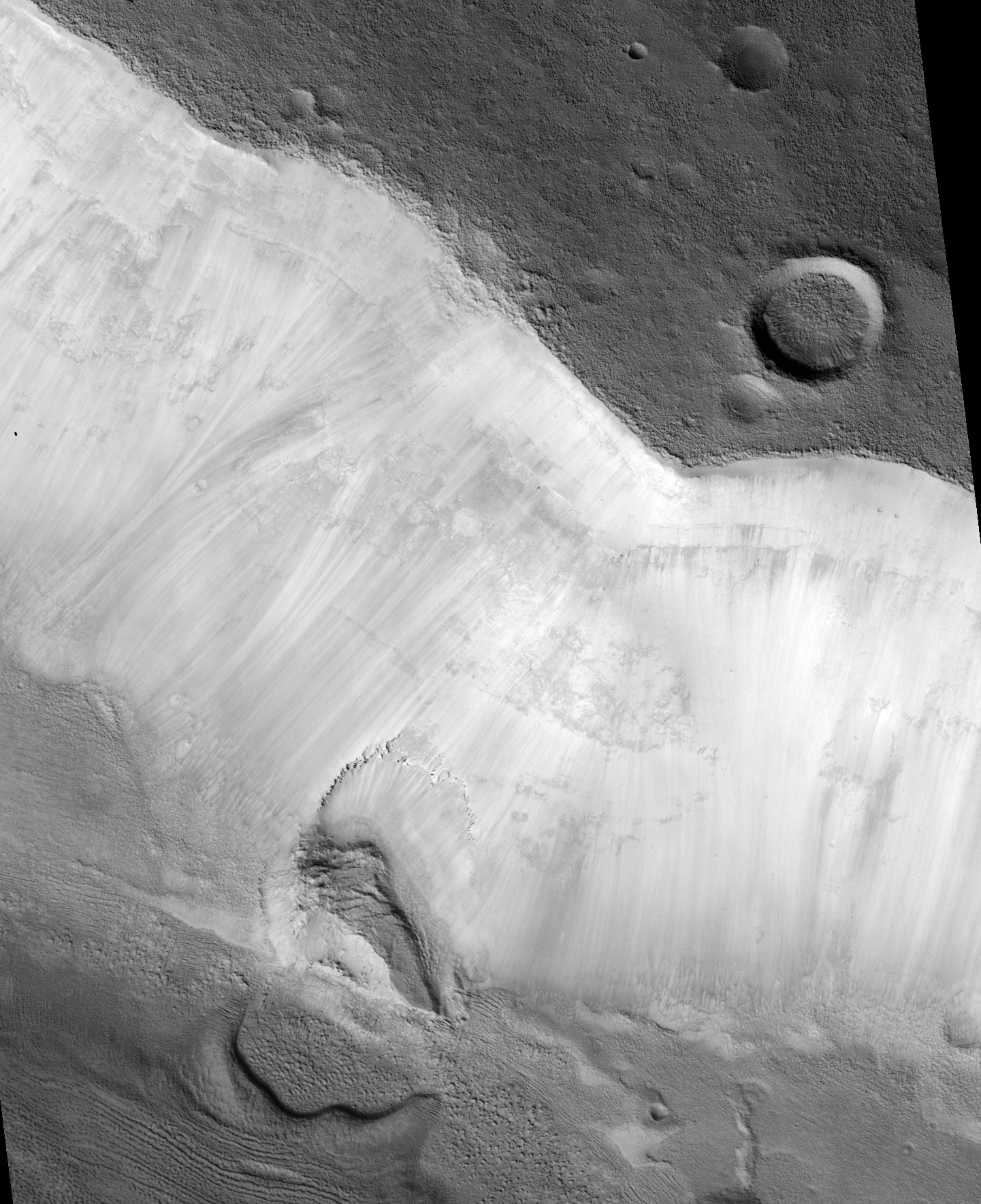
Landslide
The location is the Ismenius Lacus quadrangle at 34.609 N and 27.879 E (ESP_057191_2150).
Source: http://hirise.lpl.arizona.edu/ESP_057191_2150
Image credit is NASA/JPL/University of Arizona.
Licensing
Public domain images are available for anybody to use without any licenses, royalties, or special permissions.
File history
Click on a date/time to view the file as it appeared at that time.
| Date/Time | Thumbnail | Dimensions | User | Comment | |
|---|---|---|---|---|---|
| current | 01:15, 7 December 2019 | | 1,441 × 1,768 (847 KB) | Suitupandshowup (talk | contribs) | Landslide The location is the Ismenius Lacus quadrangle at 34.609 N and 27.879 E (ESP_057191_2150). Source: http://hirise.lpl.arizona.edu/ESP_057191_2150 Image credit is NASA/JPL/University of Arizona. |
You cannot overwrite this file.
File usage
The following 2 pages use this file:
