Mars Quadrangles
Revision as of 18:37, 6 January 2020 by Michel Lamontagne (talk | contribs)
Quadrangles
The maps below were produced by the Mars Global Surveyor's Mars Orbiter Laser Altimeter; redder colors indicate higher elevations. The maps of the equatorial quadrangles use a Mercator projection, while those of the mid-latitude quadrangles use a Lambert conformal conic projection, and the maps of the polar quadrangles use a polar stereographic projection.[1]
| Number | Name | Latitudes | Longitudes | Features | Map |
|---|---|---|---|---|---|
| MC-01 | Mare Boreum | 65–90° N | 180° W – 180° E | Features | 
|
| MC-02 | Diacria | 30–65° N | 120–180° W | Features | 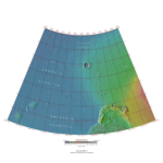
|
| MC-03 | Arcadia | 30–65° N | 60–120° W | Features | 
|
| MC-04 | Mare Acidalium | 30–65° N | 0–60° W | Features | 
|
| MC-05 | Ismenius Lacus | 30–65° N | 0–60° E | Features | 
|
| MC-06 | Casius | 30–65° N | 60–120° E | Features | 
|
| MC-07 | Cebrenia | 30–65° N | 120–180° E | Features | 
|
| MC-08 | Amazonis | 0–30° N | 135–180° W | Features | 
|
| MC-09 | Tharsis | 0–30° N | 90–135° W | Features | 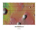
|
| MC-10 | Lunae Palus | 0–30° N | 45–90° W | Features | 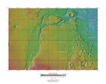
|
| MC-11 | Oxia Palus | 0–30° N | 0–45° W | Features | 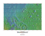
|
| MC-12 | Arabia | 0–30° N | 0–45° E | Features | 
|
| MC-13 | Syrtis Major | 0–30° N | 45–90° E | Features | 
|
| MC-14 | Amenthes | 0–30° N | 90–135° E | Features | 
|
| MC-15 | Elysium | 0–30° N | 135–180° E | Features | 
|
| MC-16 | Memnonia | 0–30° S | 135–180° W | Features | 
|
| MC-17 | Phoenicis Lacus | 0–30° S | 90–135° W | Features | 
|
| MC-18 | Coprates | 0–30° S | 45–90° W | Features | 
|
| MC-19 | Margaritifer Sinus | 0–30° S | 0–45° W | Features | 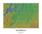
|
| MC-20 | Sinus Sabaeus | 0–30° S | 0–45° E | Features | 
|
| MC-21 | Iapygia | 0–30° S | 45–90° E | Features | 
|
| MC-22 | Mare Tyrrhenum | 0–30° S | 90–135° E | Features | 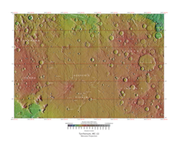
|
| MC-23 | Aeolis | 0–30° S | 135–180° E | Features | 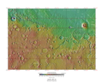
|
| MC-24 | Phaethontis | 30–65° S | 120–180° W | Features | 
|
| MC-25 | Thaumasia | 30–65° S | 60–120° W | Features | 
|
| MC-26 | Argyre | 30–65° S | 0–60° W | Features | 
|
| MC-27 | Noachis | 30–65° S | 0–60° E | Features | 
|
| MC-28 | Hellas | 30–65° S | 60–120° E | Features | 
|
| MC-29 | Eridania | 30–65° S | 120–180° E | Features | 
|
| MC-30 | Mare Australe | 65–90° S | 180° W – 180° E | Features | 
|
- ↑ Cite error: Invalid
<ref>tag; no text was provided for refs namedphotojournal


